


09/01/2017
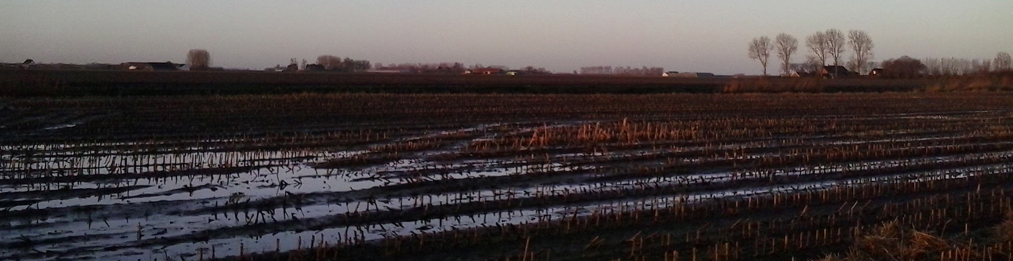
On 12 December, the European Commission launched a new tool for mapping surface waters, which is valuable for policy.
The Global water surface explorer is based on 3 million satellite images collected over the last 32 years. Its maps were developed by the European Joint Research Center (JRC), in partnership with Google Earth Engine.
Dernière mise à jour le 09.01.2017
